Mount Cameroon – Day 2
During a long night of tossing and turning, made complicated by being pressed up against Pete and Amy, I heard the pre-dawn departure of the two two-day tour groups. Few of us seem to have got much sleep, although Indar and Jonathan managed a fair bit of snoring.
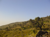
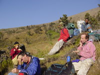
We had tea and croissants for breakfast and set off at around 7.30am. It was a hard slog again, although some parts were easier than yesterday the air was getting thinner (hut 2 is at 2850m 9350 ft). The landscape above hut 2 looked almost mediterranean in the morning sun, just much colder! We were still stopped to rest more frequently than the guides wanted to.
At one point, as we sat resting, one of the guides pointed out a skinny woman running up the mountain. It seems she’s known as the “Queen of the Mountain” and has won the Race of Hope up the mountain seven times. Last year she managed it in 5 hours 38 minutes and 6 seconds! She was interviewed on the BBC’s Woman’s Hour a couple of years ago.
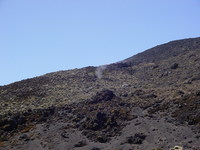
The landscape was gradually changing again, more barren-looking and covered in old lava. The walking started to get easier again after hut 3, with the path being mostly gravel and cinders. We passed some craters from the last eruption, in 2000, which were still smoking gently. Just after the craters we rounded a corner and could see the summit for the first time.
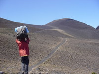
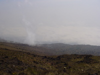
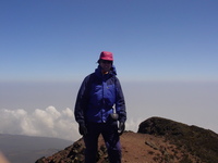
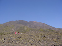
After a fairly short walk I was at the summit (4095 m / 13435 ft), joining the others who had got there first. It was very windy and bitterly cold, one member of another group had taken to moving on all fours for fear of being blown off the narrow ridge. We stayed long enough for some biscuit and photos and then scuttled back down to rejoin the porters. The third picture below is a part-panorama looking north from the summit.
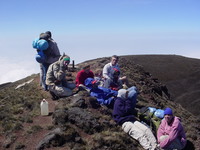

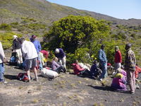
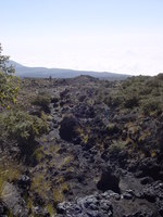
We descended some tricky steep scree paths to a more grassy and (slightly) warmer area where we sheltered behind a tree for lunch. The walking then got harder again as we descended over rough and unstable lava flows, but at least with views back up to the summit.
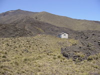
We eventually emerged from all the lava into scrubby plains surrounded by gentle, rounded hills and covered in something that looked like thornless gorse. As the sun was starting to get dark we approached a cluster of communication antennas and equipment huts known as Station F. According to Peter (one of the guides) it’s a relay station for some of the oil companies. The porters had already set themselves up in the hut and had apparently never put up tents at that site, not surprising given the lack of level ground and lumpy terrain.
We ended up in an abandoned equipment hut, with the icy wind howling through various gaps in the walls. While Indar was cooking a quick meal of pasta and cheese we made the guide and porters aware of how upset we were about the situation. They brought over some hot water for us, so we had hot chocolate with whisky before going to be.
![[Nigeria]](/media/Flags/NGflagSmall.png)